|
|
A historic map of the Islands of Newfoundland, Cape Breton, St. John and Anticosta and the neighbouring countries of Nova Scotia and Canada.
|
|
|
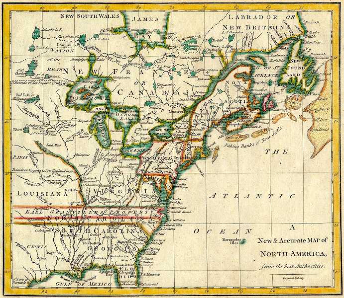
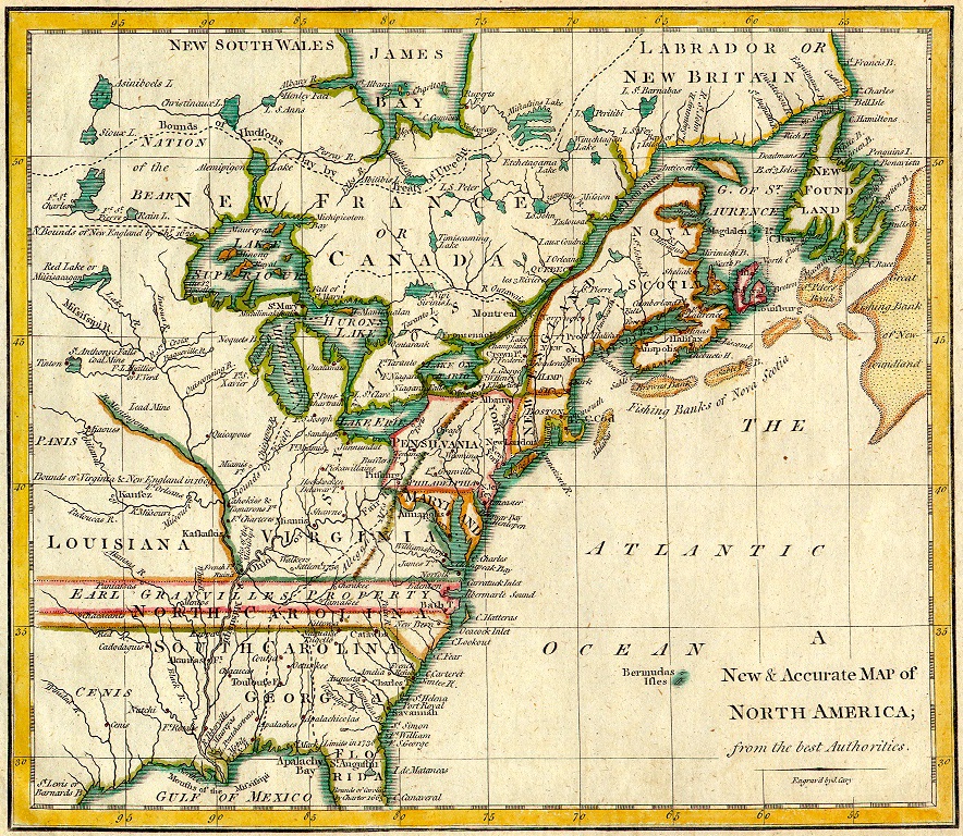
A historic map of the Eastern half of North America.
|
|
|
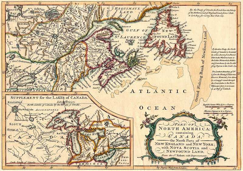
A historic map of Eastern Canada including the Northern parts of New England and New York along with Nova Scotia and Newfoundland. Also included on this map is a map insert of the Great Lakes.
|
|
|
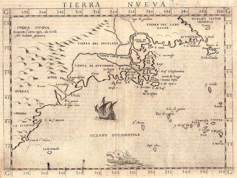
A very old map of what was then believed to be North America. Very rough and inaccurate outline, but it does show some sea life and a route to New India!.
|
There are more maps on the way! | |

|
|

|
|
|
||
|
|

|
|
|
|
||
